Until independence, declared on November 11, 1975, Angola, one of the largest countries in Africa, with an area of 1,246,700 square kilometers, had 16 provinces, with two more created after that period: Lunda Norte, in 1978, and Bengo, separated from Luanda in 1980.
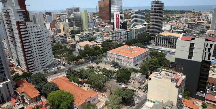
Between the tiny Cabinda, located in the north and geographically discontinuous Angola, with only 7300 square kilometers and the giant Moxico, in the central east, with 230 thousand square kilometers, extends an unequal territory, in terms of area and population density with the macrocephalic province of the capital, Luanda, to concentrate almost a third of the 30 million Angolans.
In 2012, Bornito de Sousa, then Minister of Territorial Administration and current Vice President, suggested the possibility of revising the provinces of Moxico and Cuando-Cubango, the two largest in Angola, in order to facilitate administrative management, given the great distances of the municipalities in reaction to the capital of the respective provinces, a project that never materialized.
The President, João Lourenço, took up the idea again and announced in July his intention to change the administrative division of five provinces of the country, in order to create a closer relationship between the administrative entities and the citizens, to fight asymmetries, as well as a fairer and more balanced management of the national territory, and to improve the provision of public services.
At stake are the provinces of Cuando Cubango, Moxico, Lunda-Norte, Malanje and Uíge, where the Government has been holding consultation sessions in order to demonstrate the merit of the proposal that is in public consultation.
However, the opposition disagrees with the chosen timing, due to economic problems and the proximity of the elections, with some analysts pointing out among the motivations a possible postponement of the elections scheduled for 2022 - which João Lourenço has already ruled out.
But the main argument of the critical voices is that the executive should move towards the institutionalization of local authorities, demanded for years by activists, opposition parties and civil society.
The public consultation that runs until September 17 focuses on the definition of the number of new provinces resulting from the change in the political-administrative division, the distribution of municipalities, the establishment of border marks between the new provinces, the designation of these provinces, as well as the definition of provincial capitals, seeking to respond to possible questions of anthropological, natural and other relevant issues.
Currently, Angola comprises 18 provinces, which are subdivided into 164 municipalities that, in turn, are divided into 518 communes and 44 urban districts.